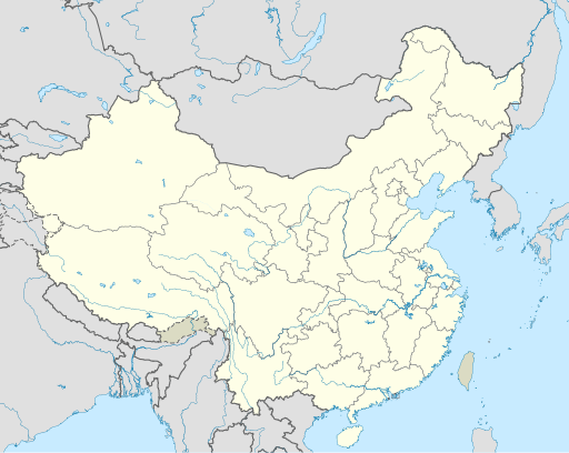
Fitxategi:China edcp location map.svg

SVG fitxategi honen PNG aurreikuspenaren tamaina: 512 × 408 pixel. Bestelako bereizmenak: 301 × 240 pixel | 602 × 480 pixel | 964 × 768 pixel | 1.280 × 1.020 pixel | 2.560 × 2.040 pixel.
Bereizmen handikoa (SVG fitxategia, nominaldi 512 × 408 pixel, fitxategiaren tamaina: 2,56 MB)
Fitxategiaren historia
Data/orduan klik egin fitxategiak orduan zuen itxura ikusteko.
| Data/Ordua | Iruditxoa | Neurriak | Erabiltzailea | Iruzkina | |
|---|---|---|---|---|---|
| oraingoa | 06:10, 13 abendua 2021 |  | 512 × 408 (2,56 MB) | Maanshen | Update borders and land reclamation. |
| 04:44, 31 urria 2021 |  | 512 × 408 (2,54 MB) | Not logging in | Fix colored path shown as land in XInjiang and Gansu. | |
| 04:41, 31 urria 2021 |  | 512 × 408 (2,54 MB) | Not logging in | FIx | |
| 04:35, 31 urria 2021 |  | 512 × 408 (2,54 MB) | Not logging in | Corrected borders for Xinjiang, Qinghai, and Gansu provincial borders per request, see NordNordWest's talk page | |
| 14:32, 29 martxoa 2021 |  | 512 × 408 (2,36 MB) | 瑞丽江的河水 | Reverted to version as of 09:13, 22 February 2021 (UTC), disputed area, special color | |
| 09:40, 29 martxoa 2021 |  | 1.181 × 940 (4,07 MB) | Turbo Slayer 2021 | Reverted to version as of 02:23, 28 March 2021 (UTC)Firstly, Taiwan is not a part of China cause the Government of Taiwan is Republic of China. Southern Tibet is a part of India not China. That's all | |
| 16:08, 28 martxoa 2021 |  | 512 × 408 (2,36 MB) | 瑞丽江的河水 | Reverted to version as of 09:13, 22 February 2021 (UTC) | |
| 05:23, 28 martxoa 2021 |  | 1.181 × 940 (4,07 MB) | Turbo Slayer 2021 | Reverted to version as of 20:14, 31 August 2011 (UTC) | |
| 11:13, 22 otsaila 2021 |  | 512 × 408 (2,36 MB) | DokiDonkey | Fix | |
| 11:23, 19 otsaila 2021 |  | 512 × 408 (2,34 MB) | DokiDonkey | Change Trans-Karakoram Tract |
Irudira dakarten loturak
Hurrengo orrialdeek dute fitxategi honetarako lotura:
Fitxategiaren erabilera orokorra
Hurrengo beste wikiek fitxategi hau darabilte:
- ace.wikipedia.org proiektuan duen erabilera
- af.wikipedia.org proiektuan duen erabilera
- Nanjing
- Groot Muur van China
- Sjabloon:Liggingkaart Volksrepubliek China
- Shangqiu
- Dongguan
- Wenzhou
- Zibo
- Suzhou, Jiangsu
- Kaifeng
- Qingdao
- Xiamen
- Shantou
- Wuxi
- Quanzhou
- Shijiazhuang
- Changsha
- Hefei
- Kunming
- Tangshan
- Ningbo
- Fuzhou
- Changzhou
- Taizhou, Zhejiang
- Ürümqi
- Guiyang
- Xuzhou
- Nanchang
- Lanzhou
- Anshan
- Yangzhou
- Nantong
- Hohhot
- Jilin (stad)
- Huainan
- Linyi
- Xiangtan
- Huizhou
- Baotou
- Nanyang
- Baoding
- Liuzhou
- Tai'an
- Fuyang
- Jiangmen
- Yinchuan
- Weifang
- Zhuhai
- Huangshi
Ikus fitxategi honen erabilpen global gehiago.


