Fitxategi:Wales Swansea locator map.svg

SVG fitxategi honen PNG aurreikuspenaren tamaina: 502 × 600 pixel. Bestelako bereizmenak: 201 × 240 pixel | 402 × 480 pixel | 643 × 768 pixel | 857 × 1.024 pixel | 1.714 × 2.048 pixel | 1.047 × 1.251 pixel.
Bereizmen handikoa (SVG fitxategia, nominaldi 1.047 × 1.251 pixel, fitxategiaren tamaina: 147 KB)
Fitxategi hau Wikimedia Commonsekoa da. Hango deskribapen orriko informazioa behean duzu. |
Laburpena
| Deskribapena |
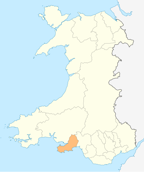
Deutsch: Lagekarte von Swansea in Wales
English: Locator map of Swansea in Wales |
| Data | |
| Jatorria | Norberak egina |
| Egilea | NordNordWest |
| Lizentzia (Fitxategi hau berrerabiltzen) |
Nik, lan honen egileak, argitaratzen dut ondorengo lizentzia pean: Fitxategi hau Creative Commons Attribution-Share Alike 3.0 Unported lizentziapean dago.
|

|
This map has been made or improved in the German Kartenwerkstatt (Map Lab). You can propose maps to improve as well.
|
Fitxategiaren historia
Data/orduan klik egin fitxategiak orduan zuen itxura ikusteko.
| Data/Ordua | Iruditxoa | Neurriak | Erabiltzailea | Iruzkina | |
|---|---|---|---|---|---|
| oraingoa | 20:58, 4 maiatza 2010 | | 1.047 × 1.251 (147 KB) | NordNordWest | {{int:filedesc}} {{Information |Description= {{de|Lagekarte von Swansea in Wales}} {{en|Locator map of Swansea in Wales}} |Source={{Own}} |Date=2010-05-04 |Author={{U|NordNordWest}} |Permission={{self|cc-by-sa-3.0}} |other_versions= }} {{Kartenwerkstatt} |
Irudira dakarten loturak
Hurrengo orrialdeek dute fitxategi honetarako lotura:
- Birchgrove (Swansea)
- Bishopston (Swansea)
- Bonymaen
- Castle (Swansea)
- Clydach (Swansea)
- Cockett
- Craig Cefn Parc
- Crofty
- Cwmbwrla
- Dunvant
- Felindre
- Garnswllt
- Glais
- Gorseinon
- Gowerton
- Grovesend
- Ilston
- Killay (Swansea)
- Kingsbridge (Swansea)
- Landimore
- Landore
- Llan-y-tair-mair
- Llanddewi (Gower)
- Llangennith, Llanmadoc and Cheriton
- Llangyfelach
- Llangynydd
- Llanmorlais
- Llanrhidian
- Llanrhidian Higher
- Llanrhidian Lower
- Llansamlet
- Loughor
- Mawr
- Morriston
- Mumbles
- Mynydd-Bach
- Nicholaston
- Oxwich
- Oystermouth
- Parkmill
- Penclawdd
- Penderry
- Penllergaer
- Pennard
- Penrice (Swansea)
- Pentre Dwr
- Pentre Poeth (Swansea)
- Pentrebach (Swansea)
- Pentrechwyth
- Pontarddulais
- Pontlliw
- Pontlliw and Tircoed
- Port Eynon
- Reynoldston
- Rhossili
- Sketty
- St Thomas (Swansea)
- Swansea
- Three Crosses (Swansea)
- Townhill (Swansea)
- Treboeth
- Uplands (Swansea)
- Upper Killay
- Waunarlwydd
- Ynysforgan
- Ynystawe
- Lankide:Euskaldunaa
- Txantiloi:Swansea
- Wikiproiektu:Irlanda, Gales eta Eskoziako udalerriak
Fitxategiaren erabilera orokorra
Hurrengo beste wikiek fitxategi hau darabilte:
- en.wikipedia.org proiektuan duen erabilera
- Swansea
- Gower (electoral ward)
- M4 motorway
- Mumbles
- A483 road
- A48 road
- Loughor
- Gorseinon
- Oystermouth
- Rhossili
- Heart of Wales line
- Swansea West (UK Parliament constituency)
- Slade Bay
- Gower (UK Parliament constituency)
- Swansea East (UK Parliament constituency)
- River Tawe
- History of Swansea
- Neath and Tennant Canal
- Swansea railway station
- Uplands, Swansea
- Clase
- Birchgrove, Swansea
- Morriston
- Sketty (electoral ward)
- Townhill, Swansea
- Dunvant
- Newton, Swansea
- Llansamlet (electoral ward)
- St Thomas, Swansea
- Cockett
- Landore (electoral ward)
- Port Tennant
- Bon-y-maen
- Waunarlwydd
- Gowerton
- Killay, Swansea
- Penlan
- Penllergaer
- Manselton
- Bishopston, Swansea
- Cwmbwrla
- Mynydd-bach (electoral ward)
- Killay South
- Mawr
- Penderry
- Pennard (electoral ward)
- Clydach, Swansea
- Fairwood, Swansea
- Killay North
- Llangyfelach
Ikus fitxategi honen erabilpen global gehiago.