Fitxategi:VISTA A EST DAL MASTIO DELLA ROCCA.jpg

Aurreikuspen honen neurria: 800 × 324 pixel. Bestelako bereizmenak: 320 × 130 pixel | 640 × 259 pixel | 1.024 × 415 pixel | 1.280 × 519 pixel | 2.560 × 1.038 pixel | 10.009 × 4.058 pixel.
Bereizmen handikoa ((10.009 × 4.058 pixel, fitxategiaren tamaina: 4,93 MB, MIME mota: image/jpeg))
Fitxategi hau Wikimedia Commonsekoa da. Hango deskribapen orriko informazioa behean duzu. |
Laburpena
| Deskribapena |
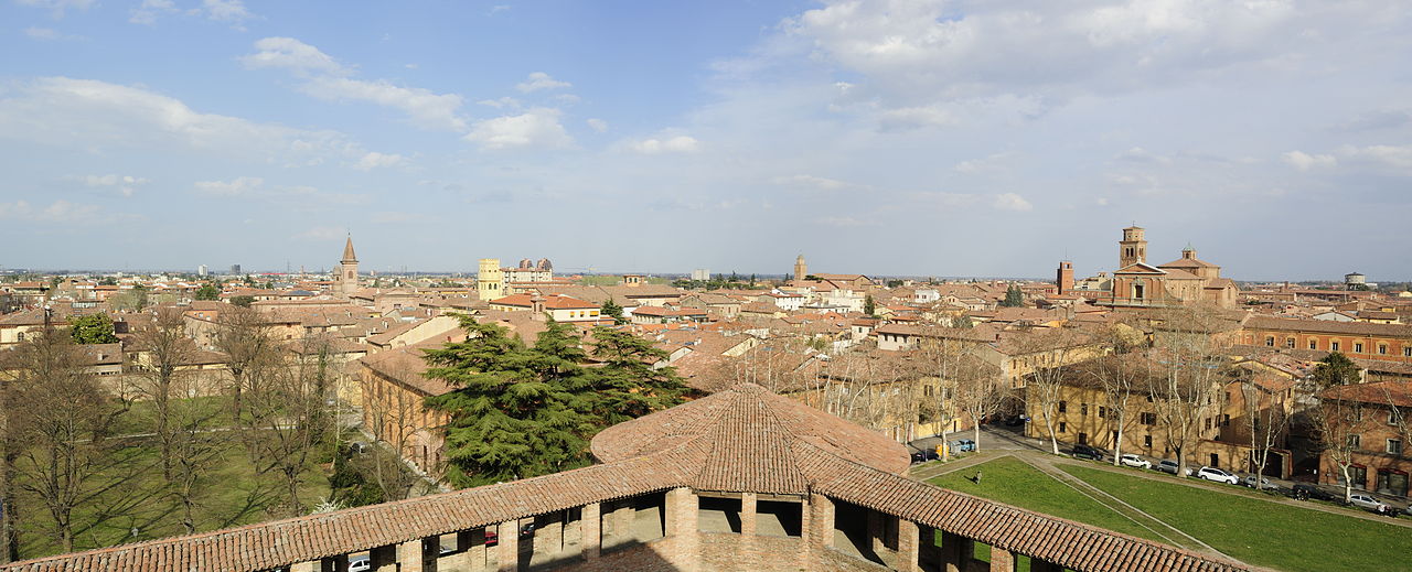
Italiano: Rocca Sforzesca - MIBAC
|
|||||
| Data | ||||||
| Jatorria | Norberak egina | |||||
| Egilea | Bassanan |

| Kameraren kokapena | | Irudi hau eta gehiago beraien kokapenekin hurrengo lekuetan: OpenStreetMap |
|---|
Lizentzia
Nik, lan honen egileak, argitaratzen dut ondorengo lizentzia pean:
Fitxategi hau Creative Commons Attribution-Share Alike 3.0 Unported lizentziapean dago.
- Askea zara:
- partekatzeko – lana kopiatzeko, banatzeko eta bidaltzeko
- birnahasteko – lana moldatzeko
- Ondorengo baldintzen pean:
- eskuduntza – Egiletza behar bezala aitortu behar duzu, lizentzia ikusteko esteka gehitu, eta ea aldaketak egin diren aipatu. Era egokian egin behar duzu hori guztia, baina inola ere ez egileak zure lana edo zure erabilera babesten duela irudikatuz.
- berdin partekatu – Lan honetan oinarrituta edo aldatuta berria eraikitzen baduzu, emaitza lana hau bezalako lizentzia batekin argitaratu behar duzu.

|
Irudi hau Wiki Loves Monuments 2012 proiektuaren barruan igo da.
|
 |
Fitxategiaren historia
Data/orduan klik egin fitxategiak orduan zuen itxura ikusteko.
| Data/Ordua | Iruditxoa | Neurriak | Erabiltzailea | Iruzkina | |
|---|---|---|---|---|---|
| oraingoa | 09:39, 27 iraila 2012 | 10.009 × 4.058 (4,93 MB) | Bassanan | User created page with UploadWizard |
Irudira dakarten loturak
Ez dago fitxategi hau darabilen orririk.
Fitxategiaren erabilera orokorra
Hurrengo beste wikiek fitxategi hau darabilte:
- an.wikipedia.org proiektuan duen erabilera
- avk.wikipedia.org proiektuan duen erabilera
- eo.wikipedia.org proiektuan duen erabilera
- it.wikipedia.org proiektuan duen erabilera
- pl.wiktionary.org proiektuan duen erabilera
- szl.wikipedia.org proiektuan duen erabilera
- tr.wikipedia.org proiektuan duen erabilera
- vo.wikipedia.org proiektuan duen erabilera