Fitxategi:Regions of Somaliland.png
Ez dago bereizmen handiagorik.
Regions_of_Somaliland.png ((800 × 522 pixel, fitxategiaren tamaina: 48 KB, MIME mota: image/png))
Fitxategi hau Wikimedia Commonsekoa da. Hango deskribapen orriko informazioa behean duzu. |

|
Irudi hau birsortu beharko litzateke SVG irudi bektorial moduan. Honek abantaila asko ematen ditu, ikus Commons:Media for cleanup (ingelesez) informazio gehiagorako. Irudi honen SVG bertsioa eskuragarri badago, mesedez Commonsera igo. Igo ostean, ordezkatu txantiloi hau txantiloi honegatik {{vector version available|irudiaren izen berria.svg}} irudi honetan.
|
Laburpena
| Deskribapena |
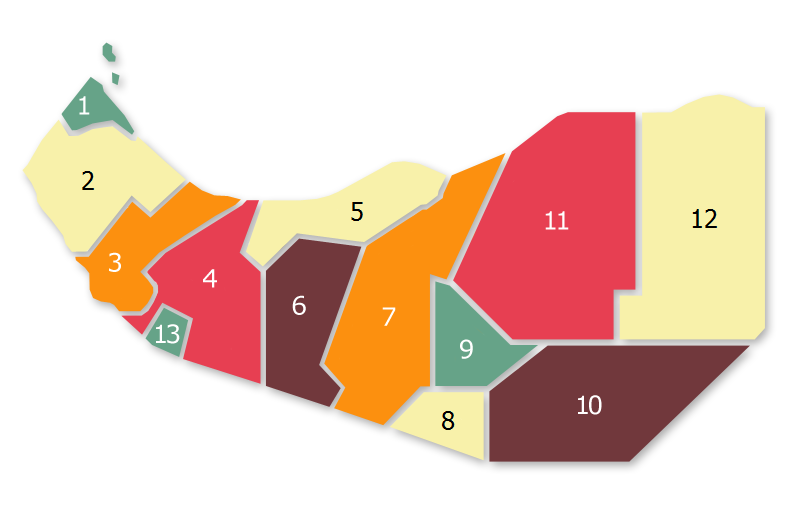
Regional Map of Somaliland, based on:  |
||
| Data | |||
| Jatorria | I (AniRaptor2001 (talk)) created this work entirely by myself. | ||
| Egilea | AniRaptor2001 (Transferred to WikiCOmmons from English Wiki by Zac allan (talk)) | ||
| Lizentzia (Fitxategi hau berrerabiltzen) |
|
Fitxategiaren historia
Data/orduan klik egin fitxategiak orduan zuen itxura ikusteko.
| Data/Ordua | Iruditxoa | Neurriak | Erabiltzailea | Iruzkina | |
|---|---|---|---|---|---|
| oraingoa | 19:56, 20 ekaina 2020 | | 800 × 522 (48 KB) | Chipmunkdavis | Reverted to version as of 03:02, 10 January 2017 (UTC) This is a map of administrative regions not local sentiment |
| 17:20, 20 ekaina 2020 |  | 800 × 522 (56 KB) | Meelpringthusss | Central Isaaq-inhabited areas support Somaliland ; eastern harti-inhabited areas mock Somaliland - Big Difference!! File_talk:Somalia_map_states_regions_districts.png#There_is_nuance_with_regards_to_control | |
| 14:08, 19 ekaina 2020 |  | 800 × 522 (48 KB) | Chipmunkdavis | Reverted to version as of 03:02, 10 January 2017 (UTC) The entirety of Somalilland is disputed territory | |
| 18:53, 17 ekaina 2020 |  | 800 × 522 (56 KB) | Meelpringthusss | highlighted disputed area | |
| 05:02, 10 urtarrila 2017 |  | 800 × 522 (48 KB) | Srittau | Reverted to version as of 18:22, 30 November 2011 (UTC) | |
| 04:32, 10 urtarrila 2017 |  | 800 × 522 (53 KB) | AlaskaLava | The 6 Somaliland Regions: The following regions are taken from 1. "Micheal Walls: State Formation in Somaliland: Bringing Deliberation to Institutionalism" from 2011, page 193 [http://discovery.ucl.ac.uk/1302550/1/1302550.pdf] 2. Political study on... | |
| 20:22, 30 azaroa 2011 |  | 800 × 522 (48 KB) | Nicolay Sidorov | change font colour for yellow background (for more contrast) | |
| 16:43, 26 uztaila 2009 |  | 800 × 522 (49 KB) | Zac Allan | == Summary == {{Information |Description = Regional Map of Somaliland, based on: <br> thumb|left |Source = I (AniRaptor2001 (talk)) created this wor |
Irudira dakarten loturak
Hurrengo orrialdeek dute fitxategi honetarako lotura:
Fitxategiaren erabilera orokorra
Hurrengo beste wikiek fitxategi hau darabilte:
- cs.wikipedia.org proiektuan duen erabilera
- de.wikipedia.org proiektuan duen erabilera
- en.wikipedia.org proiektuan duen erabilera
- en.wikibooks.org proiektuan duen erabilera
- ja.wikipedia.org proiektuan duen erabilera
- li.wikipedia.org proiektuan duen erabilera
- os.wikipedia.org proiektuan duen erabilera
- ru.wikipedia.org proiektuan duen erabilera
- so.wikipedia.org proiektuan duen erabilera
- sv.wikipedia.org proiektuan duen erabilera
- uk.wikipedia.org proiektuan duen erabilera
- xmf.wikipedia.org proiektuan duen erabilera