Fitxategi:North of Trewidland - geograph.org.uk - 269964.jpg
Ez dago bereizmen handiagorik.
North_of_Trewidland_-_geograph.org.uk_-_269964.jpg ((640 × 427 pixel, fitxategiaren tamaina: 110 KB, MIME mota: image/jpeg))
Fitxategi hau Wikimedia Commonsekoa da. Hango deskribapen orriko informazioa behean duzu. |
Laburpena
| Deskribapena |
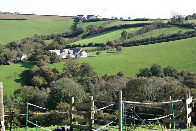
English: North of Trewidland This photograph looks across the Looe Valley to the eastern side of the valley just north of the village of Trewidland. The buildings on the centre left are, I believe, the local Primary School. |
| Data | |
| Jatorria | From geograph.org.uk |
| Egilea | Tony Atkin |
| Aitortu (required by the license) | Tony Atkin / North of Trewidland / |
| Kameraren kokapena | | Irudi hau eta gehiago beraien kokapenekin hurrengo lekuetan: OpenStreetMap |
|---|
_heading:112.00&language=eu)
| Objektuaren kokapena | | Irudi hau eta gehiago beraien kokapenekin hurrengo lekuetan: OpenStreetMap |
|---|
_heading:112.00&language=eu)
Lizentzia

|
This image was taken from the Geograph project collection. See this photograph's page on the Geograph website for the photographer's contact details. The copyright on this image is owned by Tony Atkin and is licensed for reuse under the Creative Commons Attribution-ShareAlike 2.0 license.
|
This file is licensed under the Creative Commons Attribution-Share Alike 2.0 Generic license.
Aitortu: Tony Atkin
- Askea zara:
- partekatzeko – lana kopiatzeko, banatzeko eta bidaltzeko
- birnahasteko – lana moldatzeko
- Ondorengo baldintzen pean:
- eskuduntza – Egiletza behar bezala aitortu behar duzu, lizentzia ikusteko esteka gehitu, eta ea aldaketak egin diren aipatu. Era egokian egin behar duzu hori guztia, baina inola ere ez egileak zure lana edo zure erabilera babesten duela irudikatuz.
- berdin partekatu – Lan honetan oinarrituta edo aldatuta berria eraikitzen baduzu, emaitza lana hau bezalako lizentzia batekin argitaratu behar duzu.
- Remove redundant categories and try to put this image in the most specific category/categories
- Remove this template
- The location categories are based on information from this geonames tool and this OpenStreetMap tool combined with a database. You can also have a look at this tool from mysociety.
- The topic category from Geograph was Pasture land (find similar images land at Geograph)
Fitxategiaren historia
Data/orduan klik egin fitxategiak orduan zuen itxura ikusteko.
| Data/Ordua | Iruditxoa | Neurriak | Erabiltzailea | Iruzkina | |
|---|---|---|---|---|---|
| oraingoa | 18:04, 12 abendua 2010 | | 640 × 427 (110 KB) | GeographBot | == {{int:filedesc}} == {{Information |description={{en|1=North of Trewidland This photograph looks across the Looe Valley to the eastern side of the valley just north of the village of Trewidland. The buildings on the centre left are, I believe, the loca |
Irudira dakarten loturak
Hurrengo orrialdeek dute fitxategi honetarako lotura:
Fitxategiaren erabilera orokorra
Hurrengo beste wikiek fitxategi hau darabilte:
- en.wikipedia.org proiektuan duen erabilera
- pl.wikipedia.org proiektuan duen erabilera
- www.wikidata.org proiektuan duen erabilera