Fitxategi:Middle East (orthographic projection).svg

SVG fitxategi honen PNG aurreikuspenaren tamaina: 553 × 553 pixel. Bestelako bereizmenak: 240 × 240 pixel | 480 × 480 pixel | 768 × 768 pixel | 1.024 × 1.024 pixel | 2.048 × 2.048 pixel.
Bereizmen handikoa (SVG fitxategia, nominaldi 553 × 553 pixel, fitxategiaren tamaina: 328 KB)
Fitxategi hau Wikimedia Commonsekoa da. Hango deskribapen orriko informazioa behean duzu. |
Laburpena
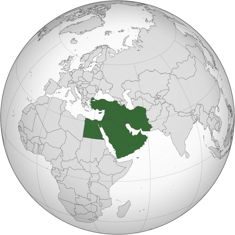
| Deskribapena | Ekialde Hurbila | ||||
| Data | |||||
| Jatorria |
Norberak egina (Original text: Own work,)
|
||||
| Egilea | TownDown | ||||
| Beste bertsioak |
.svg) |
||||
| SVG genesis | Fitxategi hau (bektore-irudia) hau Inkscape-ekin sortu da .
. |
.svg)
.svg)
.svg)
.svg)
.svg)
.svg)
.svg)
.svg)
.svg)
.svg)
.svg)
.svg)
.svg)
.svg)
.svg)
.svg)
.svg)
.svg)
.svg)
.svg)
.svg)
.svg)
.svg)
.svg)
.svg)
.svg)
.svg)
.svg)
.svg)
.svg)
.svg)
.svg)
.svg)
.svg)
.svg)
.svg)
.svg)
.svg)
.svg)
.svg)
.svg)
.svg)
.svg)
.svg)
.svg)
.svg)
.svg)
.svg)
.svg)
.svg)
.svg)
.svg)
.svg)
.svg)
.svg)
.svg)
.svg)
.svg)
.svg)
.svg)
.svg)
.svg)
.svg)
.svg)
.svg)
.svg)
.svg)
.svg)
.svg)
.svg)
.svg)
.svg)
.svg)

.svg)

.svg)

.svg)
.svg)
.svg)
.svg)
.svg)
.svg)
.svg)


.svg)
.svg)
.svg)
.svg)
.svg)
.svg)
.svg)

.svg)
.svg)
.svg)
.svg)
.svg)
.svg)
.svg)
.svg)
.svg)

.svg)
.svg)
.svg)
.svg)
.svg)
.svg)
.svg)
_without_national_boundaries.svg)
.svg)
.svg)
.svg)
.svg)
.svg)
.svg)

.svg)
.svg)
.png)
.svg)
.svg)
.svg)
.svg)

.svg)
.svg)
.svg)
.svg)
.svg)
.svg)
.svg)
.svg)
.svg)
.svg)
.svg)

.svg)
.svg)
.svg)
.svg)
.svg)
.svg)
.svg)
.svg)
.svg)

.svg)
.svg)

.svg)
.svg)
.svg)
.svg)
.svg)
.svg)
.svg)
.svg)
.svg)
.svg)
.svg)
.svg)
.svg)
.svg)
.svg)
.svg)
.svg)
.svg)
.svg)
.svg)
.svg)
.svg)
.svg)
.svg)
.svg)
.svg)
.svg)
_-_Crimea_disputed.svg)
.svg)
.svg)
.svg)
.svg)
.svg)
.svg)
.svg)
.svg)
.svg)
.svg)
.svg)
_political.svg)
.svg)
.svg)
.svg)
.svg)
_-_Crimea_disputed_-_no_borders.svg)
.svg)
.svg)
.svg)
.svg)
.svg)
.svg)
.svg)
.svg)
.svg)
.svg)
.svg)

.svg)
.svg)
.svg)

.png)
.svg)
.svg)
.svg)
.svg)
.svg)
.svg)
.svg)
.svg)
.svg)
.svg)
.svg)
.svg)
.svg)
.svg)
.svg)
.svg)
.svg)
.svg)
.svg)
.svg)
.svg)
.svg)
.svg)
.svg)
.svg)
.svg)
.svg)
.svg)
.svg)
.svg)
.svg)
.svg)
.svg)
.svg)
.png)
.svg)
.svg)
.svg)
_(orthographic_projection).png)
.svg)
.svg)
.svg)
.svg)
.svg)
Lizentzia
Nik, lan honen egileak, argitaratzen dut ondorengo lizentzia pean:

|
Baimena duzu dokumentu hau kopiatu, banatu edo/eta aldatzeko GNU Free Documentation License baldintzapean, Free Software Foundationek argitaratutako 1.2 edo ondorengo bertsioan; sekzio aldaezinik gabe, azaleko testurik gabe, eta atzeko azaleko testurik gabe. Lizentziaren kopia dago GNU Free Documentation License izenburudun atalean. |
| Fitxategi hau Creative Commons Attribution-Share Alike 3.0 Unported lizentziapean dago. | ||
| ||
| This licensing tag was added to this file as part of the GFDL licensing update. |
| Annotations | This image is annotated: View the annotations at Commons |
Fitxategiaren historia
Data/orduan klik egin fitxategiak orduan zuen itxura ikusteko.
.svg&dir=prev)
.svg&offset=20210329031415)
.svg&offset=&limit=20)
.svg&offset=&limit=50)
.svg&offset=&limit=100)
.svg&offset=&limit=250)
.svg&offset=&limit=500)
| Data/Ordua | Iruditxoa | Neurriak | Erabiltzailea | Iruzkina | |
|---|---|---|---|---|---|
| oraingoa | 05:10, 27 urtarrila 2023 | | 553 × 553 (328 KB) | Treetoes023 | Reverted to version as of 15:50, 29 April 2021 (UTC): A map of the Middle East with all white borders will be made so this one can stay the same. |
| 19:17, 22 urtarrila 2023 |  | 553 × 553 (328 KB) | M.Bitton | highlighted the inner borders, per request. Feel free to revert if you disagree | |
| 17:50, 29 apirila 2021 |  | 553 × 553 (328 KB) | LightandDark2000 | Reverted to version as of 09:19, 6 April 2021 (UTC) Stop edit-warring. And your your're a [[:User:Mazum24}Mazum24]] sock, you're going to be Globally Locked. | |
| 17:28, 29 apirila 2021 |  | 553 × 553 (406 KB) | Inkify | Reverted to version as of 07:56, 6 April 2021 (UTC) | |
| 11:19, 6 apirila 2021 |  | 553 × 553 (328 KB) | Chipmunkdavis | Reverted to version as of 17:15, 17 March 2015 (UTC) Rv to stable image that has roughly been in place for a decade. New definition is far more restrictive than common usage. | |
| 09:56, 6 apirila 2021 |  | 553 × 553 (406 KB) | GPinkerton | Reverted to version as of 16:16, 3 April 2021 (UTC) See talk page. There are already numerous maps of looser definitions these images should be used for those purposes. Wikipedia's (badly sourced, inaccurate) "Middle East" article should not govern the contents of this page. | |
| 09:41, 6 apirila 2021 |  | 553 × 553 (328 KB) | Rsk6400 | Reverted to version as of 17:15, 17 March 2015 (UTC) - see COM:OW. Significantly changing this file causes problems, e.g. on en:Middle East | |
| 18:16, 3 apirila 2021 |  | 553 × 553 (406 KB) | GPinkerton | Reverted to version as of 03:14, 29 March 2021 (UTC) reverting unexplained changes: see talk page | |
| 02:39, 1 apirila 2021 |  | 553 × 553 (328 KB) | NotAMonarchist | Reverted to version as of 17:15, 17 March 2015 (UTC) | |
| 05:14, 29 martxoa 2021 |  | 553 × 553 (406 KB) | GPinkerton | Less expansive definition, according with the "generally accepted" definition mentioned by the ''Concise Oxford Dictionary of World Place Names'' (6th ed.): "comprising Iraq, Iran, Israel, Jordan, Lebanon, Syria, and the Arabian Peninsula". |
Irudira dakarten loturak
Hurrengo orrialdeek dute fitxategi honetarako lotura:
Fitxategiaren erabilera orokorra
Hurrengo beste wikiek fitxategi hau darabilte:
- am.wikipedia.org proiektuan duen erabilera
- ar.wikipedia.org proiektuan duen erabilera
- الأردن
- لبنان
- سلطنة عمان
- اليمن
- العراق
- قطر
- إسرائيل
- الكويت
- قطاع غزة
- البحرين
- إيران
- قبرص
- تركيا
- قبرص الشمالية
- قالب:الشرق الأوسط
- إقليم كردستان العراق
- إمارة شرق الأردن
- دولة فلسطين
- بوابة:السعودية
- تاريخ الشرق الأوسط
- سوريا
- الشرق الأوسط الكبير
- بوابة:الكويت
- ويكيبيديا:صناديق المستخدم/بلدان
- مصر
- مطبخ الشرق الأوسط
- السعودية
- موسيقى الشرق الأوسط
- قرار مجلس الأمن التابع للأمم المتحدة رقم 425
- بوابة:القدس
- الشرق الأوسط
- الإمارات العربية المتحدة
- فلسطين
- بوابة:تركيا
- التعليم في قبرص الشمالية
- قرار مجلس الأمن التابع للأمم المتحدة رقم 369
- قرار مجلس الأمن التابع للأمم المتحدة رقم 368
- قرار مجلس الأمن التابع للأمم المتحدة رقم 378
- بوابة:البحرين
- بوابة:البحرين/قوالب
- قرار مجلس الأمن التابع للأمم المتحدة رقم 452
- قائمة نزاعات الشرق الأوسط الحديثة
- مستخدم:Avocato/مصر
- منظمة البورصة والأوراق المالية الإيرانية
- مستخدم:Abdullah Yamani/ملعب
- فيروس كورونا المرتبط بمتلازمة الشرق الأوسط التنفسية
- تصنيف:قادة دول الشرق الأوسط
- بوابة:الكويت/قوالب
- بوابة:السعودية/قوالب
Ikus fitxategi honen erabilpen global gehiago.
.svg)
.svg)