Fitxategi:Mapa del archipiélago Chinijo.svg

Bereizmen handikoa (SVG fitxategia, nominaldi 1.052 × 744 pixel, fitxategiaren tamaina: 5,48 MB)
Fitxategi hau Wikimedia Commonsekoa da. Hango deskribapen orriko informazioa behean duzu. |
Laburpena
| Deskribapena |
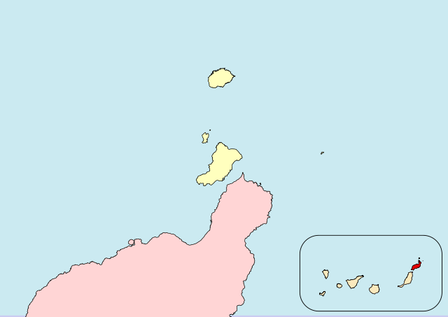
Español: Archipiélago Chinijo (Lanzarote, Canarias, España)
English:Chinijo-Archipel (Lanzarote, Canary Islands, Spain) |
| Data |
|
| Jatorria |
Norberak egina |
| Egilea |
Iván Hernández Cazorla |
|date=2016-05-13 |source=Norberak egina a partir de:
- Instituto Geográfico Nacional. BCN 200 (Base de datos en línea). Centro de Descargas del Centro Nacional de Información Geográfica. Retrieved on 2016-05-13.
- Gobierno de Canarias (2006-09-21). BOC - 2006/185. Jueves 21 de Septiembre de 2006 - 1278 (Institucional). Boletín Oficial de Canarias. Retrieved on 2016-05-18.
|author=Iván Hernández Cazorla
|other fields=SVG genesis
}}
| Kameraren kokapena | | Irudi hau eta gehiago beraien kokapenekin hurrengo lekuetan: OpenStreetMap |
|---|
Lizentzia
I, Iván Hernández Cazorla, have published this work under the terms of the license CC BY-SA 4.0, which allow you use and share this work, and create derivative works; under the condition of give me credit of the work using the same license. For that, please, add legibly:
Use this work in compliance with the terms of the license! If you use this work outside of the Wikimedia Projects, you can contact with me sending an email to |
|
This file is copyrighted and has been released under a license which is incompatible with Facebook's licensing terms. It is not permitted to upload this file to Facebook. |
- Askea zara:
- partekatzeko – lana kopiatzeko, banatzeko eta bidaltzeko
- birnahasteko – lana moldatzeko
- Ondorengo baldintzen pean:
- eskuduntza – Egiletza behar bezala aitortu behar duzu, lizentzia ikusteko esteka gehitu, eta ea aldaketak egin diren aipatu. Era egokian egin behar duzu hori guztia, baina inola ere ez egileak zure lana edo zure erabilera babesten duela irudikatuz.
- berdin partekatu – Lan honetan oinarrituta edo aldatuta berria eraikitzen baduzu, emaitza lana hau bezalako lizentzia batekin argitaratu behar duzu.
Fitxategiaren historia
Data/orduan klik egin fitxategiak orduan zuen itxura ikusteko.
| Data/Ordua | Iruditxoa | Neurriak | Erabiltzailea | Iruzkina | |
|---|---|---|---|---|---|
| oraingoa | 20:27, 18 maiatza 2016 | | 1.052 × 744 (5,48 MB) | Ivanhercaz | Revierto a la versión del 13 de mayo de 2016 a las 16:50 16:50, 13 May 2016 (UTC) para que el contenido del mapa esté acorde a su función. Aparte, subiré otro mapa con la delimitación del Parque Natural. |
| 03:00, 18 maiatza 2016 |  | 1.052 × 744 (4,23 MB) | Ivanhercaz | Eliminación de etiqueta <flowRoot> en el cuadro de la comunidad autónoma: solución al recuadro negro en la esquina superior-izquierda. | |
| 02:42, 18 maiatza 2016 |  | 1.052 × 744 (4,24 MB) | Ivanhercaz | Añado una leyenda mínima y necesaria para entender la zona resaltada del mapa. | |
| 02:05, 18 maiatza 2016 |  | 1.052 × 744 (4,41 MB) | Ivanhercaz | Establezco los límites correctos del archipiélago Chinijo según el BOC 2006/185 1278. | |
| 18:50, 13 maiatza 2016 |  | 1.052 × 744 (5,48 MB) | Ivanhercaz | Un trazo más fino en el cuadro de localización de Canarias. | |
| 16:48, 13 maiatza 2016 |  | 1.052 × 744 (5,46 MB) | Ivanhercaz | User created page with UploadWizard |
Irudira dakarten loturak
Ez dago fitxategi hau darabilen orririk.
Fitxategiaren erabilera orokorra
Hurrengo beste wikiek fitxategi hau darabilte:
- an.wikipedia.org proiektuan duen erabilera
- es.wikipedia.org proiektuan duen erabilera
- nl.wikivoyage.org proiektuan duen erabilera
- ru.wikipedia.org proiektuan duen erabilera
- zh.wikipedia.org proiektuan duen erabilera