Fitxategi:Johs. Mejer 1650.JPG

Aurreikuspen honen neurria: 771 × 599 pixel. Bestelako bereizmenak: 309 × 240 pixel | 617 × 480 pixel | 988 × 768 pixel | 1.280 × 995 pixel | 2.560 × 1.990 pixel | 2.962 × 2.303 pixel.
Bereizmen handikoa ((2.962 × 2.303 pixel, fitxategiaren tamaina: 5,04 MB, MIME mota: image/jpeg))
Fitxategi hau Wikimedia Commonsekoa da. Hango deskribapen orriko informazioa behean duzu. |
Laburpena

.jpg)

Lizentzia
Nik, lan honen egileak, argitaratzen dut ondorengo lizentzia pean:
| This file is made available under the Creative Commons CC0 1.0 Universal Public Domain Dedication. | |
| The person who associated a work with this deed has dedicated the work to the public domain by waiving all of their rights to the work worldwide under copyright law, including all related and neighboring rights, to the extent allowed by law. You can copy, modify, distribute and perform the work, even for commercial purposes, all without asking permission.
|
Fitxategiaren historia
Data/orduan klik egin fitxategiak orduan zuen itxura ikusteko.
| Data/Ordua | Iruditxoa | Neurriak | Erabiltzailea | Iruzkina | |
|---|---|---|---|---|---|
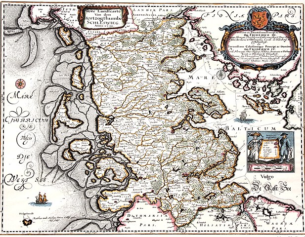
| oraingoa | 15:08, 25 apirila 2011 | | 2.962 × 2.303 (5,04 MB) | Calvin~commonswiki | {{Information |Description ={{en|1=Map of the Duchy of Schleswig 1650. The map shows the original area of the duchy. Kort over hertugdømmet Slesvig. Kortet viser hertugdømmets oprindelige udstrækning.}} |Source =Map by Johannes Mejer, Husum, |
Irudira dakarten loturak
Ez dago fitxategi hau darabilen orririk.
Fitxategiaren erabilera orokorra
Hurrengo beste wikiek fitxategi hau darabilte:
- da.wikipedia.org proiektuan duen erabilera
- de.wikipedia.org proiektuan duen erabilera
- en.wikipedia.org proiektuan duen erabilera
- hu.wikipedia.org proiektuan duen erabilera
- is.wikipedia.org proiektuan duen erabilera
- lv.wikipedia.org proiektuan duen erabilera
- nl.wikipedia.org proiektuan duen erabilera