Fitxategi:Japan prov map.png
Ez dago bereizmen handiagorik.
Japan_prov_map.png ((250 × 320 pixel, fitxategiaren tamaina: 7 KB, MIME mota: image/png))
Fitxategi hau Wikimedia Commonsekoa da. Hango deskribapen orriko informazioa behean duzu. |

|
File:Provinces of Japan.svg fitxategi honen bektore bertsioa da. Hau rasterizatutako irudiaren ordez erabili beharko litzateke.
File:Japan prov map.png → File:Provinces of Japan.svg
Grafiko bektorialei buruzko informazioa lortzeko, irakurri SVGra trantsizioa Commonsen. MediaWikiko SVG irudien inguruko laguntza teknikoa ere badago. |
 |
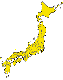
Old Japanese Map from en.wp
| This work has been released into the public domain by its author, Kinori. This applies worldwide. Estatu batzuetan beharbada hori ez da legez posible izango. Halakoetan: |
Revisions of 4 December 2005
Japanese
- 陸奥国と出羽国の境
- 常陸国と下総国の境
- 伊勢国と志摩国の境
- 伊勢国と紀伊国の境
- 摂津国と河内国の境
- 豊前国と豊後国の境
- 日向国と大隈国の境
English
- Border between Mutsu and Dewa
- Border between Hitachi and Shimousa
- Border between Ise and Shima
- Border between Ise and Kii
- Border between Settsu and Kawachi
- Border between Buzen and Bungo
- Border between Hyūga and Ōsumi
Fitxategiaren historia
Data/orduan klik egin fitxategiak orduan zuen itxura ikusteko.
| Data/Ordua | Iruditxoa | Neurriak | Erabiltzailea | Iruzkina | |
|---|---|---|---|---|---|
| oraingoa | 02:13, 11 abendua 2005 | | 250 × 320 (7 KB) | Kinori | add Yaku and Chishima. fix Tsushima and Yamato |
| 03:40, 7 abendua 2005 |  | 235 × 300 (6 KB) | Kinori | five colors version | |
| 07:48, 4 abendua 2005 |  | 235 × 300 (11 KB) | Kinori | Japan Province Map revised. | |
| 17:46, 9 otsaila 2005 |  | 235 × 300 (8 KB) | Suisui | Old Japanese map while from ja.wp {{PD}} |
Irudira dakarten loturak
Ez dago fitxategi hau darabilen orririk.
Fitxategiaren erabilera orokorra
Hurrengo beste wikiek fitxategi hau darabilte:
- de.wikipedia.org proiektuan duen erabilera
- ja.wikipedia.org proiektuan duen erabilera
- su.wikipedia.org proiektuan duen erabilera