Fitxategi:Cayman Islands location map.svg

SVG fitxategi honen PNG aurreikuspenaren tamaina: 799 × 319 pixel. Bestelako bereizmenak: 320 × 128 pixel | 640 × 256 pixel | 1.024 × 409 pixel | 1.280 × 511 pixel | 2.560 × 1.022 pixel | 924 × 369 pixel.
Bereizmen handikoa (SVG fitxategia, nominaldi 924 × 369 pixel, fitxategiaren tamaina: 33 KB)
Fitxategi hau Wikimedia Commonsekoa da. Hango deskribapen orriko informazioa behean duzu. |
| Deskribapena |
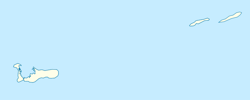
Deutsch: Positionskarte der Kaimaninseln. Geographische Begrenzungen der Karte:
English: Location map of the Cayman Islands. Geographic limits of the map:
|
| Data | |
| Jatorria | Norberak egina, using OpenStreetMap Data for the coastlines |
| Egilea |
Graphic made by Carport |
Lizentzia
This file is licensed under the Creative Commons Attribution-Share Alike 2.0 Generic license.
- Askea zara:
- partekatzeko – lana kopiatzeko, banatzeko eta bidaltzeko
- birnahasteko – lana moldatzeko
- Ondorengo baldintzen pean:
- eskuduntza – Egiletza behar bezala aitortu behar duzu, lizentzia ikusteko esteka gehitu, eta ea aldaketak egin diren aipatu. Era egokian egin behar duzu hori guztia, baina inola ere ez egileak zure lana edo zure erabilera babesten duela irudikatuz.
- berdin partekatu – Lan honetan oinarrituta edo aldatuta berria eraikitzen baduzu, emaitza lana hau bezalako lizentzia batekin argitaratu behar duzu.
Fitxategiaren historia
Data/orduan klik egin fitxategiak orduan zuen itxura ikusteko.
| Data/Ordua | Iruditxoa | Neurriak | Erabiltzailea | Iruzkina | |
|---|---|---|---|---|---|
| oraingoa | 19:07, 23 azaroa 2009 | 924 × 369 (33 KB) | Carport | {{Information |Description={{de|1=Positionskarte der {{w|Kaimaninseln|3=de}}. Geographische Begrenzungen der Karte: * N: 19.84° N * S: 19.14° N * W: 81.52° W * E: 79.66° W}} {{en|1=Location map of the {{w|Cayman Islands}}. Geographic limits of the ma |
Irudira dakarten loturak
Hurrengo orrialdeek dute fitxategi honetarako lotura:
Fitxategiaren erabilera orokorra
Hurrengo beste wikiek fitxategi hau darabilte:
- af.wikipedia.org proiektuan duen erabilera
- an.wikipedia.org proiektuan duen erabilera
- ar.wikipedia.org proiektuan duen erabilera
- ast.wikipedia.org proiektuan duen erabilera
- ba.wikipedia.org proiektuan duen erabilera
- be.wikipedia.org proiektuan duen erabilera
- bg.wikipedia.org proiektuan duen erabilera
- ceb.wikipedia.org proiektuan duen erabilera
- Plantilya:Location map United Kingdom Cayman Islands
- Welch Point
- South Channel
- Palmetto Point
- The Narrows
- Crawl Bay
- Sandy Point
- East Point
- West Bay
- Long Point
- Low Point
- South West Point
- George Town
- Charles Bay
- West End Point
- West End
- Water Cay
- Southwest Point
- Gun Bluff
- Cedar Point
- The Bight
- North Side
- East End
- Eden Rocks
- Prospect Point
- Stake Bay
- Little Sound
- Main Channel
- Rum Point
- Sand Cay
- East Channel
- North Reef
- Boatswain Point
- Beach Point
- Owen Island
Ikus fitxategi honen erabilpen global gehiago.